
TRAILS

SAND CANYON LOT/WEST
Contemplative Trail to Sand Canyon Trail Loop
1.75 mi
Length
Mod
Rating
216 ft
Elev Gain
Yes
Loop
.5-1 hr
Time
No
Bike/Horse
Some wanted to call Red Rock Canyon the “Garden of the Goddesses,” but the apt name did not go to waste— it lives on through a local group of the same name that helps build and maintain trails. In particular, the Garden of the Goddesses helped create the Contemplative Trail. The trail was designed to honor the sacred, meditative quality of the area and therefore it is dedicated to hiking only.
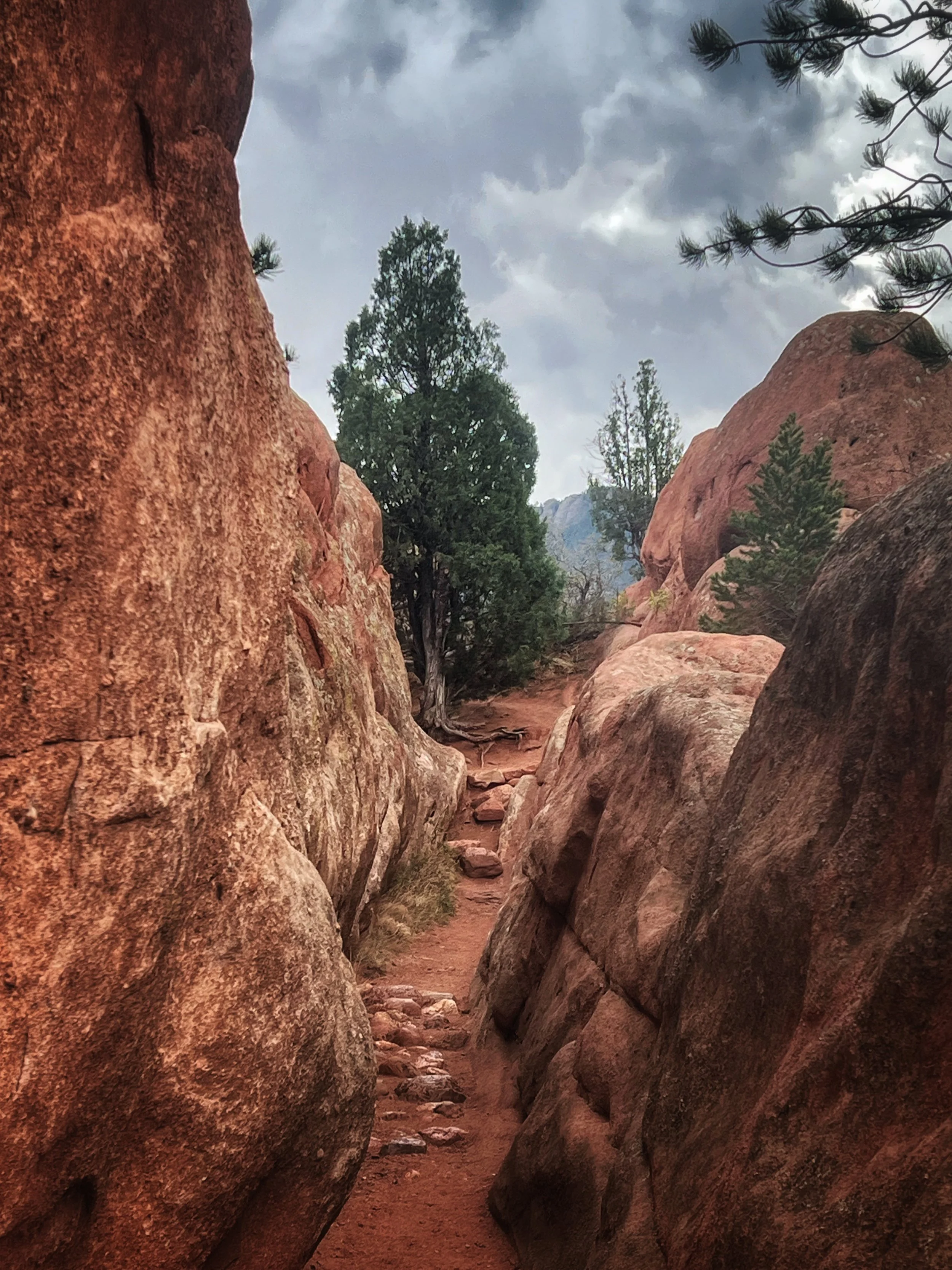
The Contemplative Trail skirts especially close to the rock formations, often traversing between two rock walls, making it a quiet route separated from the noise of traffic and neighborhoods. Several pine benches have been installed along the trail, and many more natural benches can be found on the rocks for your sitting and meditating enjoyment. You can make the hike a loop by starting at the Sand Canyon trailhead at the west end of the parking lot. The Contemplative Trail begins and ends from Sand Canyon, so you can hike up one and down the other. The loop’s roundtrip length from the parking lot is about 1.75 miles.
MAIN LOT
Dog Park Loop Trails
.5-.9 mi
Length
Easy
Rating
154 ft
Elev Gain
Yes
Loop
.5-1 hr
Time
Yes
Bike/Horse
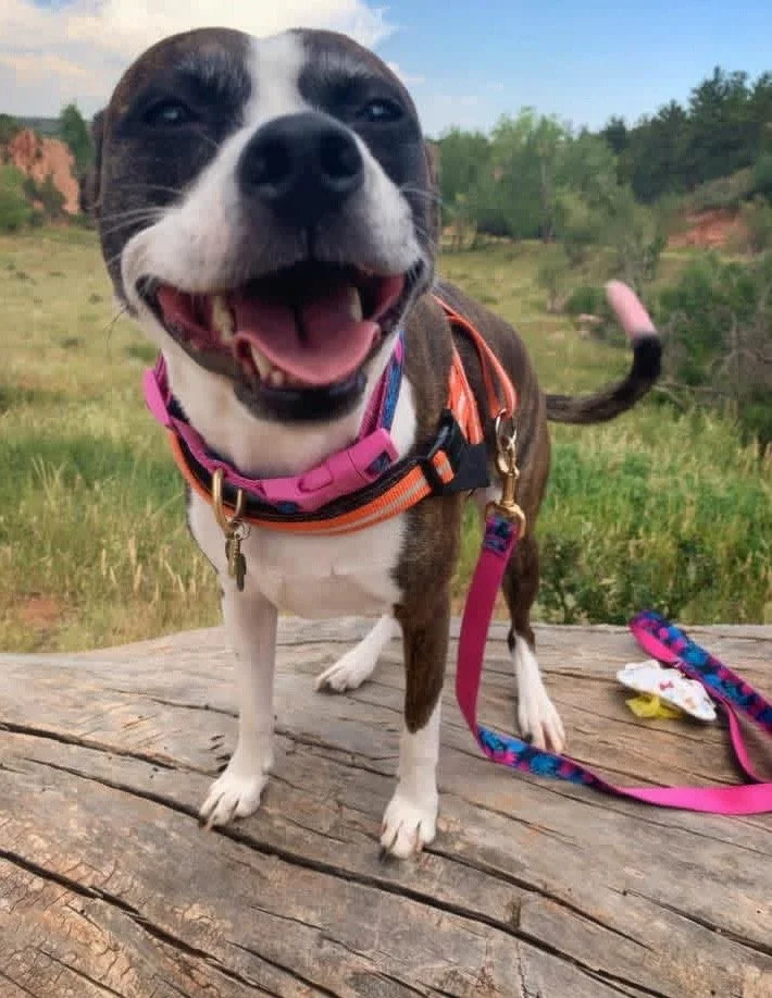
Of the park’s two off-leash dog loops, the Upper Dog Loop offers a quieter experience with less traffic noise and fewer views of nearby development. In contrast, the Lower Dog Loop overlooks Highway 24 and provides a shorter, more convenient option for visitors seeking a quick outing. The Lower Dog Loop is approximately half a mile round trip from the middle parking area, making it one of the shortest loop hikes in the park. The Upper Dog Loop is also relatively short at about one mile round trip. Both areas give dogs plenty of space to run, explore, sniff, and enjoy the freedom of being off leash.
From the east end of the main parking lot, follow Mesa Trail to access the Lower Dog Loop (½-mile round trip) and Upper Dog Loop (1-mile round trip). Dogs must remain on leash in all Open Space areas, including the parking lot and Mesa Trail access, and may only be off leash within the designated dog parks.
Mesa/Greenlee Loop
1.8 mi
Length
Mod
Rating
255 ft
Elev Gain
Yes
Loop
.5-1 hr
Time
Yes
Bike/Horse
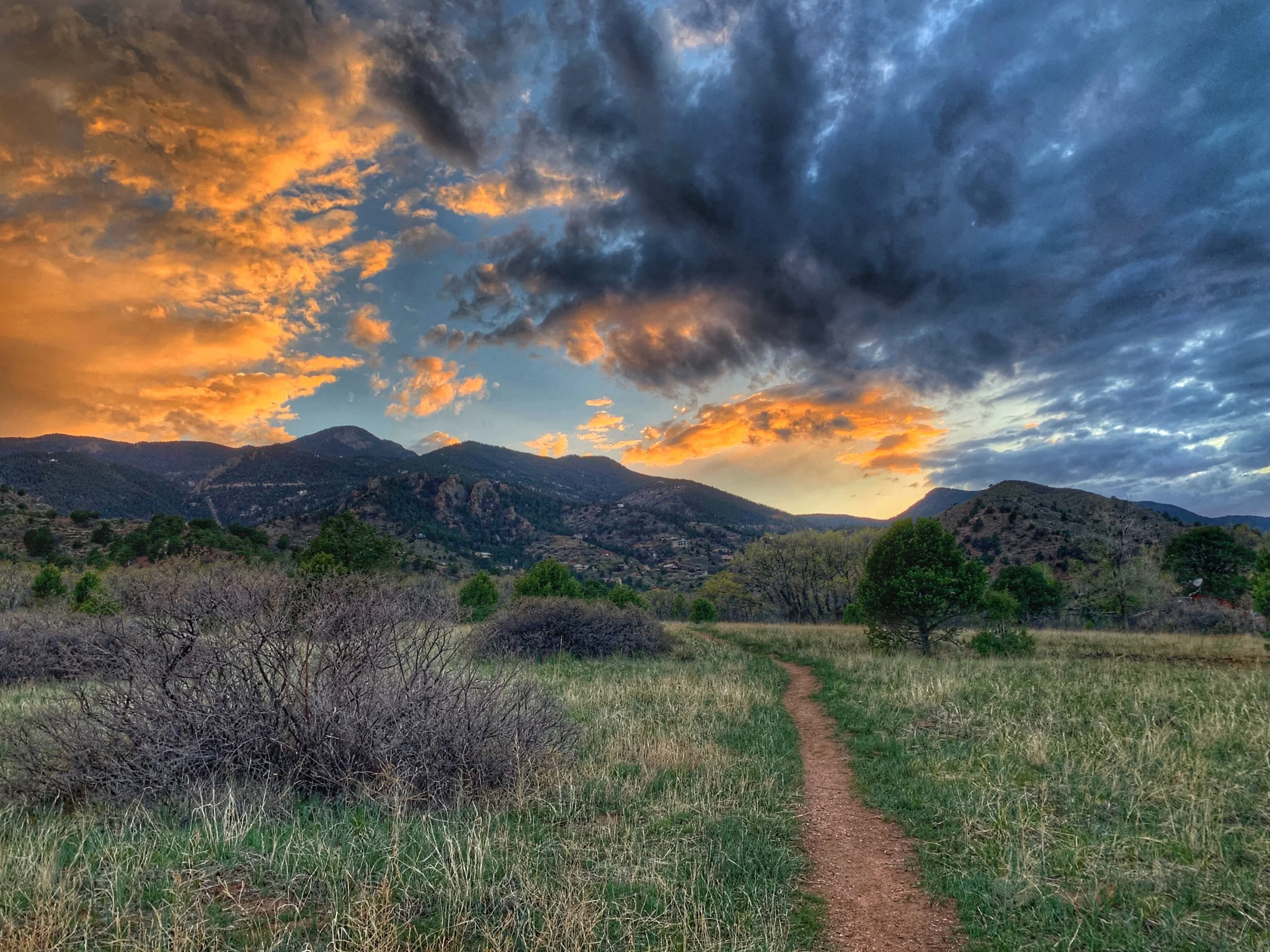
This loop extends to the southern end of the open space before curving back toward the trailhead, creating a route that is primarily uphill on the first half and downhill on the return. The grades are generally moderate, and the wide, road-style trails remain mostly on top of the mesa, making them especially pleasant for sunny winter hikes.
Rather than winding directly through the canyons, the trail parallels them, offering expansive views of the surrounding red rock formations, along with sweeping vistas of Pikes Peak and Garden of the Gods. The open terrain and broad skies make this a great route for taking in Colorado’s bright blue days or watching clouds move across the landscape.
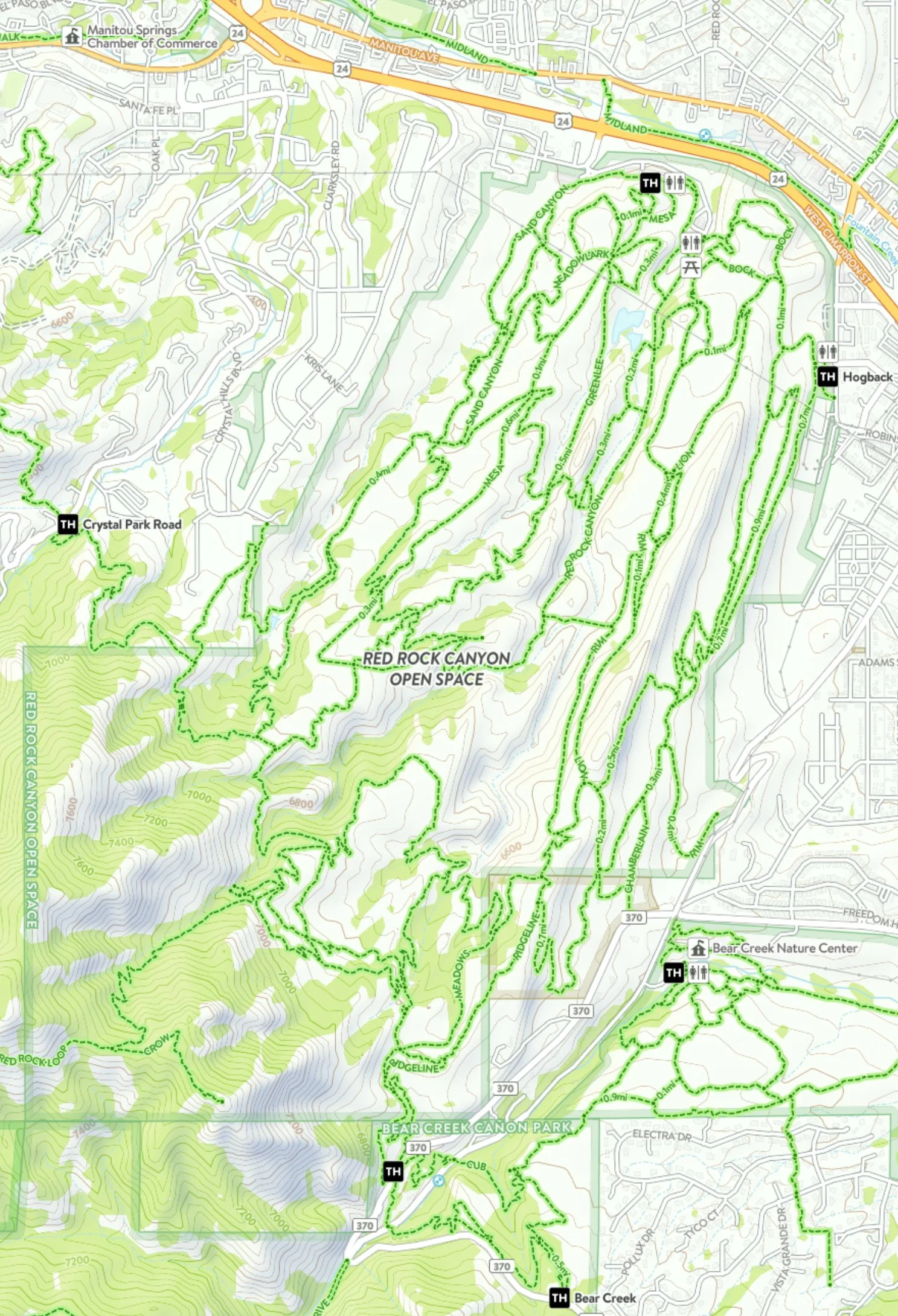
To complete the loop, begin at the trail on the east end of the west parking lot and follow the natural horseshoe-shaped route, ignoring side trails along the way. As the trail begins descending, Mesa Trail becomes Greenlee Trail, eventually reconnecting with Mesa Trail near the bottom.
PICNIC LOT/EAST
Red Rock Canyon Trail - ADA Accessible
1.5-2 mi
Length
Easy
Rating
200 ft
Elev Gain
No
Loop
.75-1 hr
Time
Yes
Bike/Horse
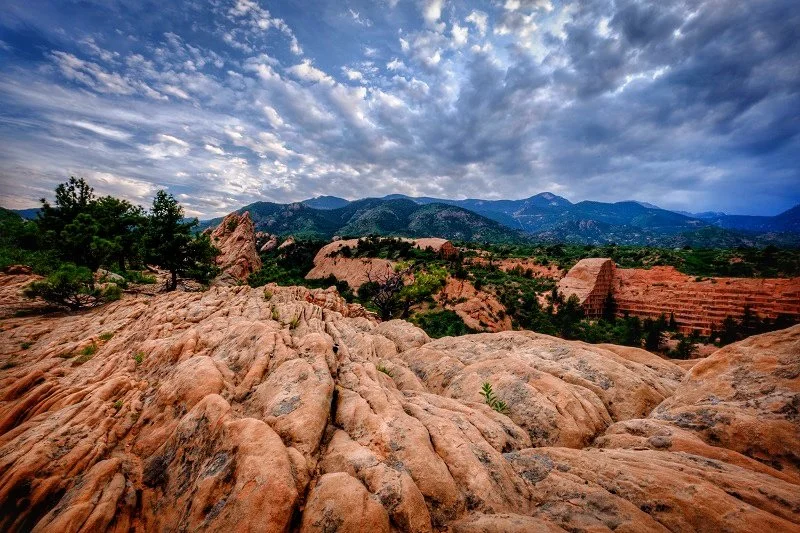
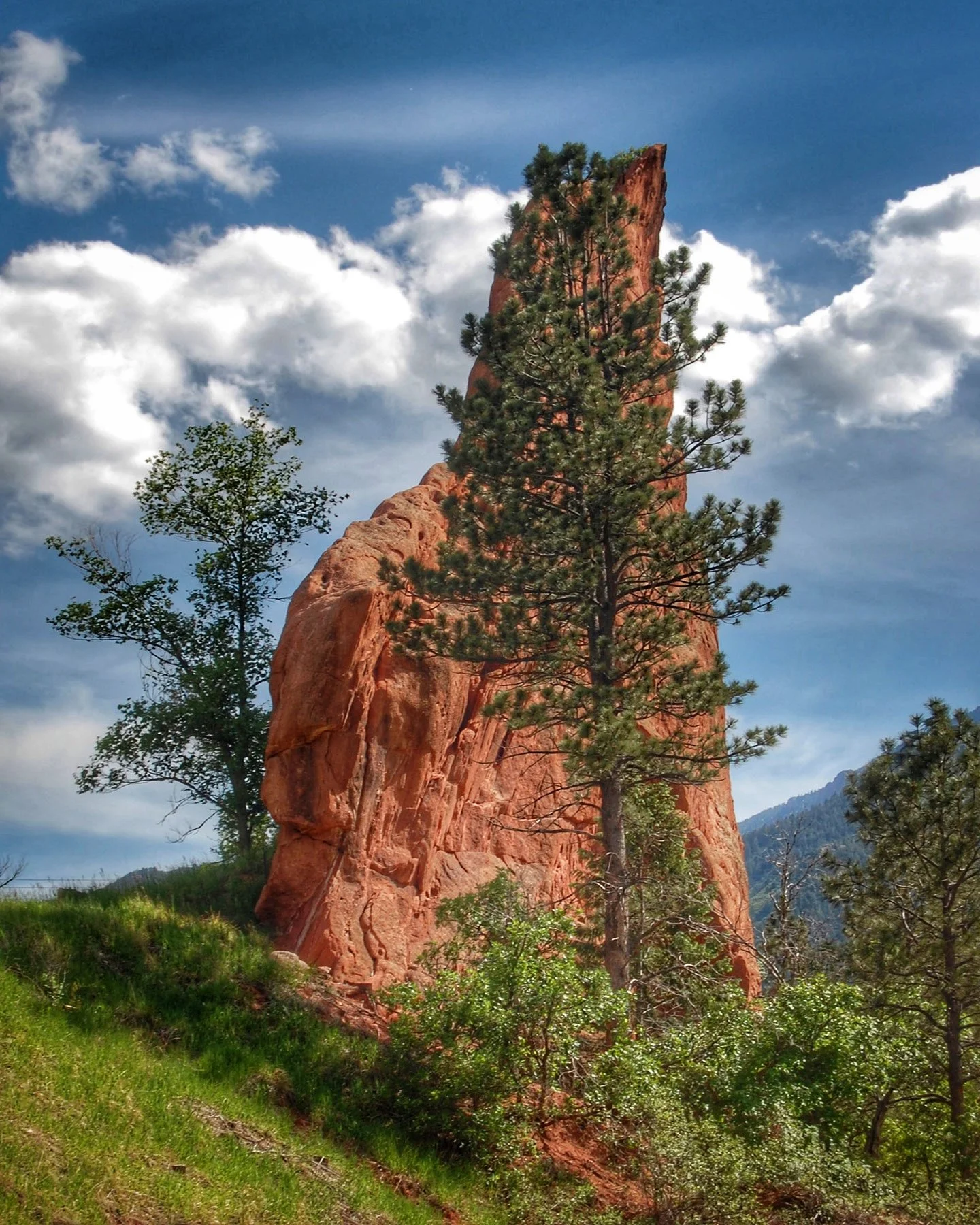
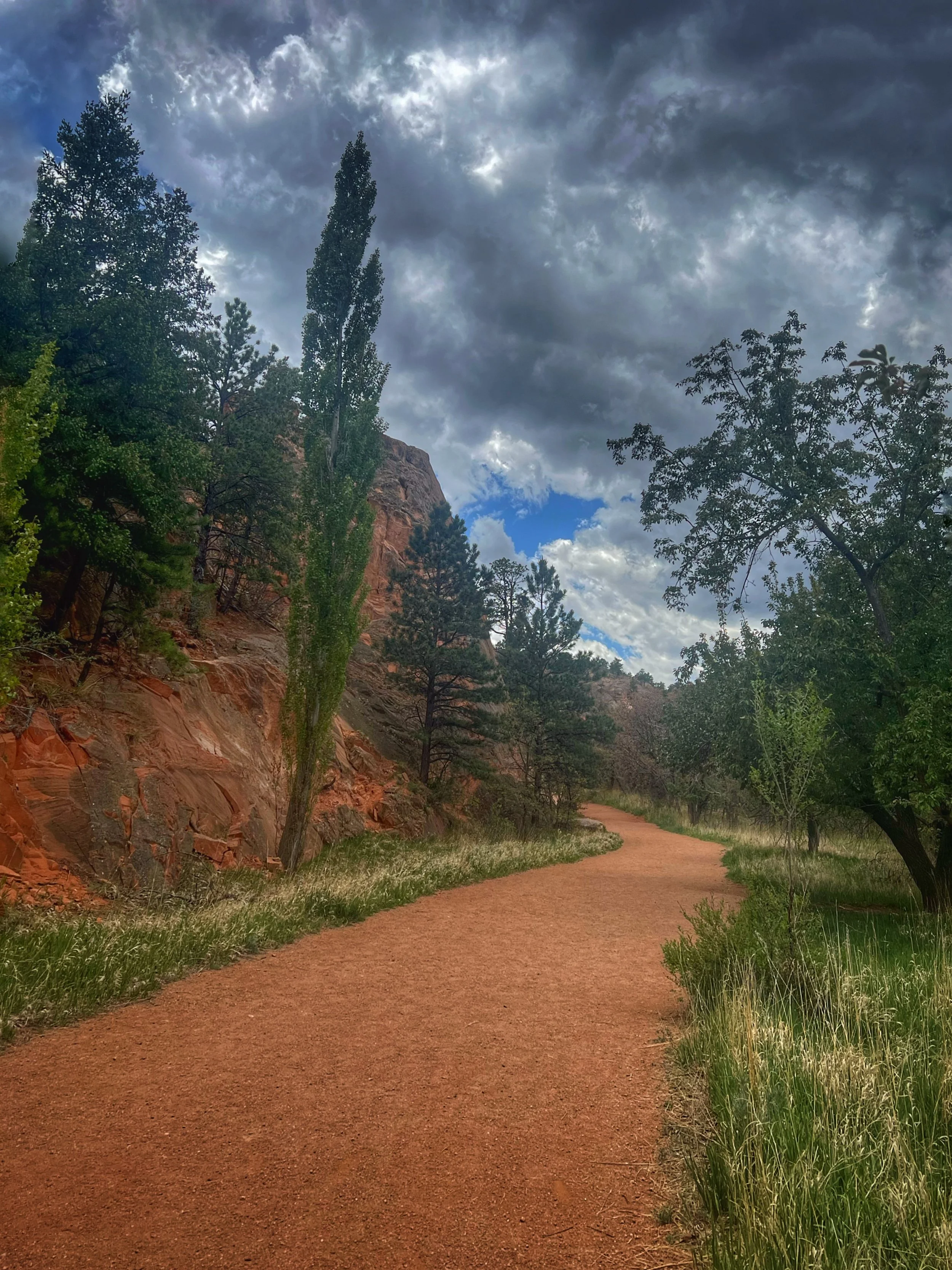
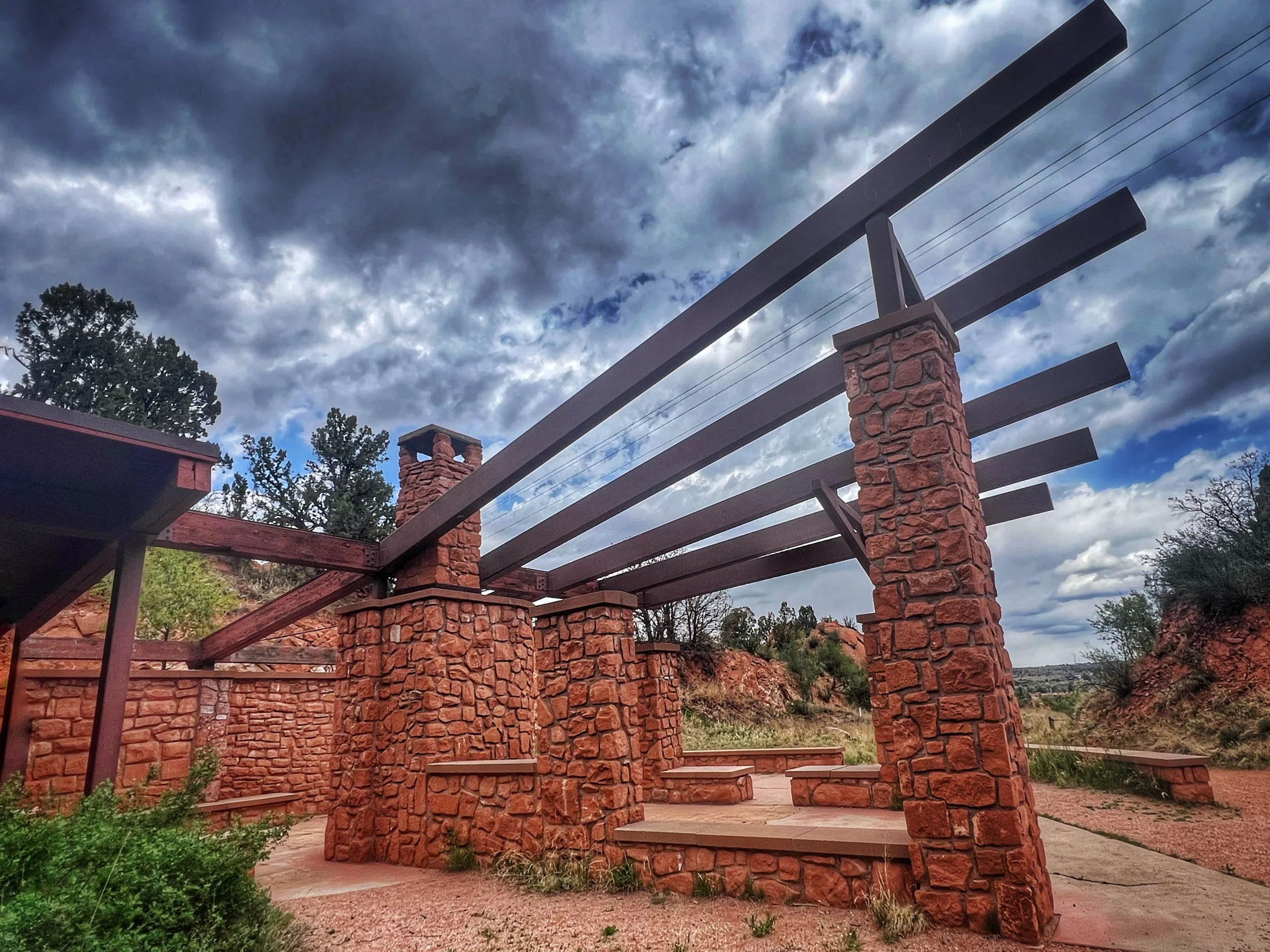
The Red Rock Canyon Trail offers one of the most accessible and scenic ways to experience the park’s dramatic red sandstone formations, rolling foothills, and wide-open Front Range views. Winding through former quarry areas and alongside striking rock walls, the trail provides a relatively gentle route that is popular with walkers, hikers, runners, and families looking for an easy outdoor experience. Visitors can enjoy views of nearby Garden of the Gods and Pikes Peak while exploring the canyon’s unique geology and history.
Parts of the main Red Rock Canyon pathway are considered ADA-accessible or mobility-friendly, featuring wide crushed gravel surfaces, gradual grades, and easier terrain compared to many of the steeper and rockier trails throughout the park. The lower sections that start at the east parking area are especially suitable for wheelchairs, strollers, adaptive bikes, and visitors seeking a more accessible nature experience. This trail allows visitors to enjoy the beauty of the canyon without navigating difficult elevation changes or technical terrain
Quarry Loop
1.8-2 mi
Length
Mod
Rating
255 ft
Elev Gain
Yes
Loop
.5-1 hr
Time
Yes
Bike/Horse
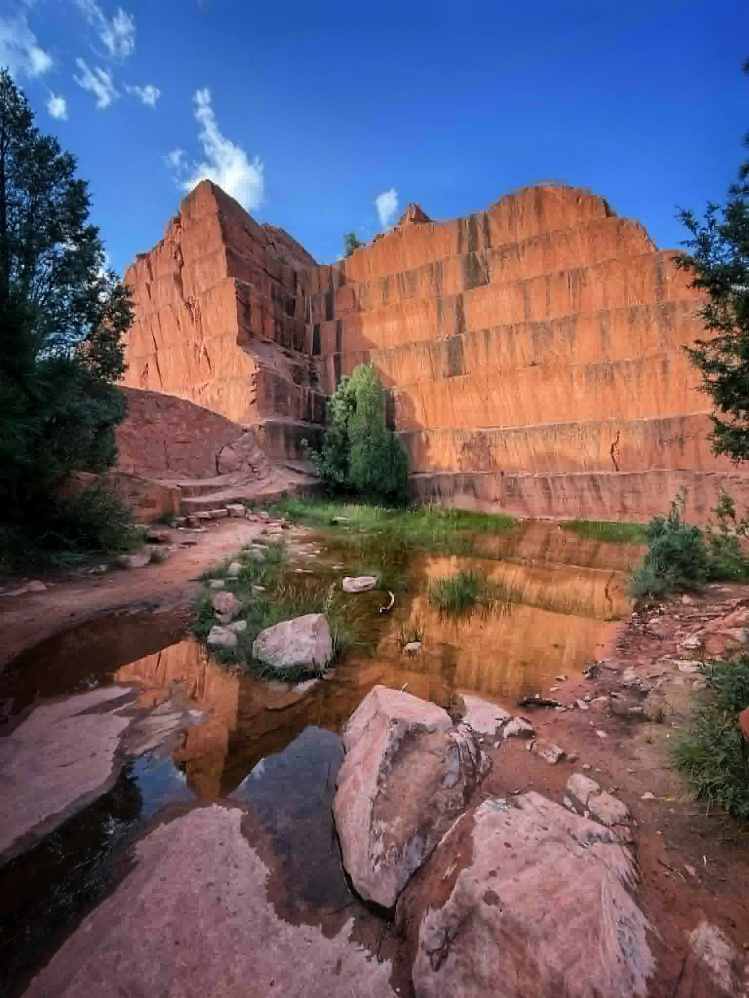
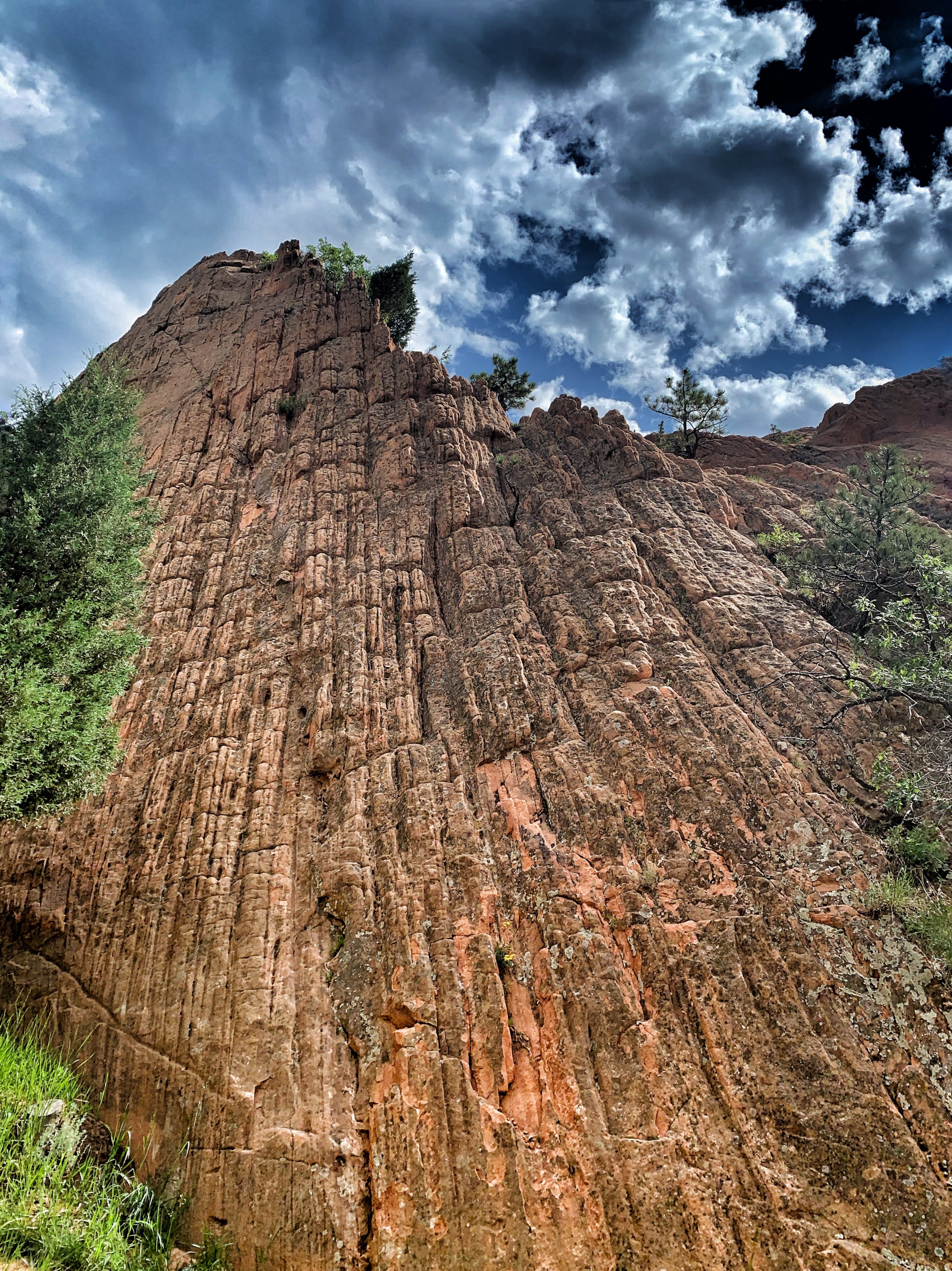
In the late 1800s, Red Rock Canyon was home to an active quarry, and many traces of that history are still evident. This area is a fun destination for families, history buffs, and anyone who enjoys discovering the stories hidden behind a landscape. Massive sandstone walls still show the dramatic geometric cuts left behind by quarry operations, giving the area a unique character unlike anywhere else in the park.
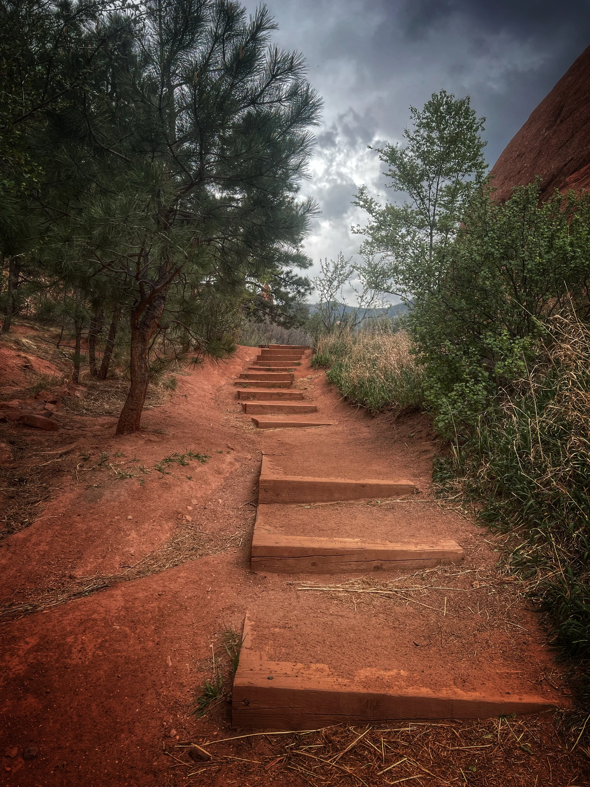
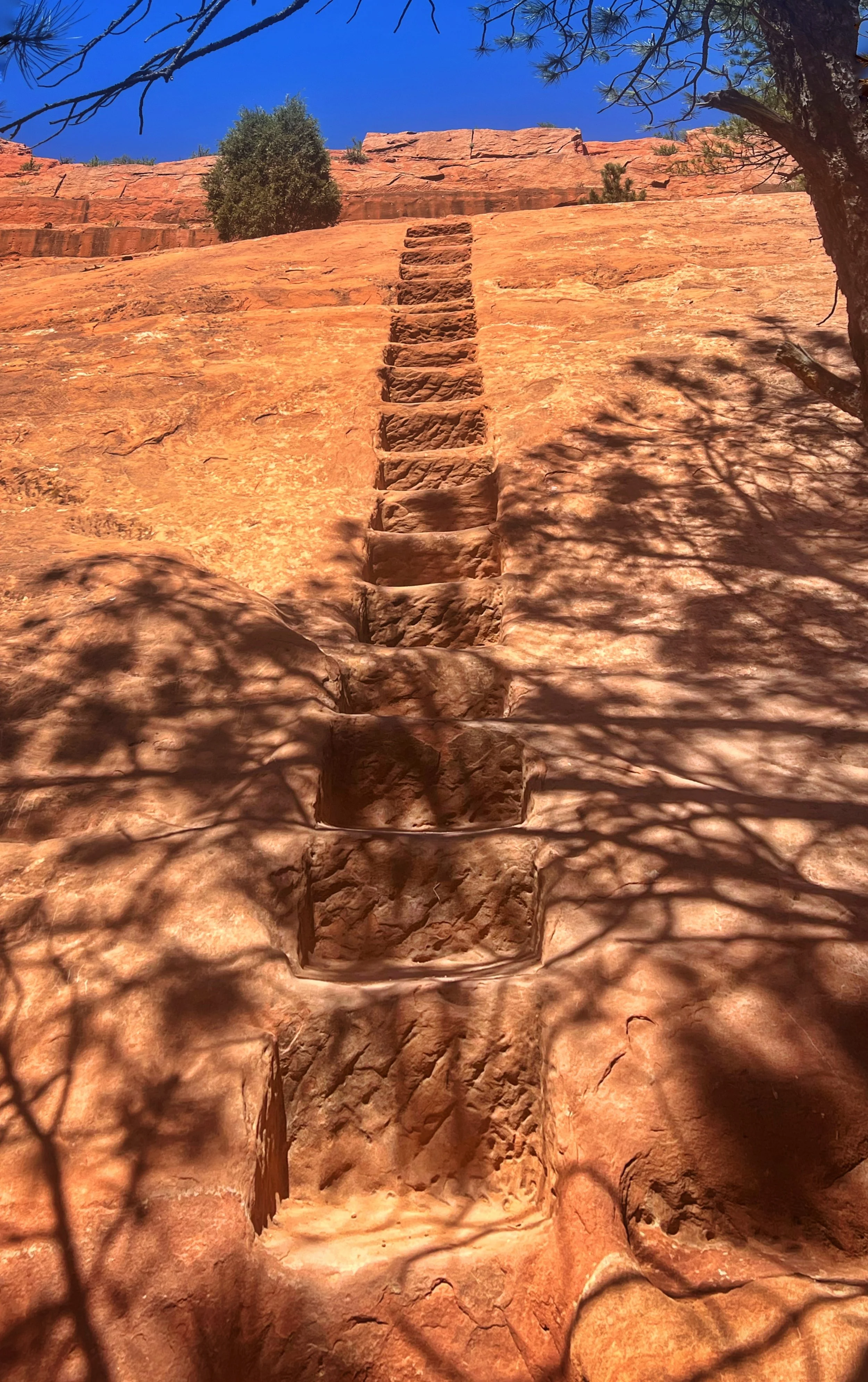
On the east side of the quarry, hikers can choose between a traditional dirt trail with switchbacks or the steep “miners’ staircase” carved directly into the rock. The staircase is easiest to spot when approaching from Red Rock Canyon Trail on the east side.
The loop can be completed using Red Rock Canyon Trail, Mesa Trail, and Quarry Pass Trail, with Greenlee Trail offering a shorter connector option. The full loop is just over two miles, or about 1.8 miles using the Greenlee shortcut.
Intemann Connection
At the crest of the Mesa/Greenlee Loop, a connector trail leads to Section 16 and the Intemann Trail, winding past striking rock formations and offering beautiful views along the way.
Bock/Chamberlain/Lion Trail Loop
2.5-3.3 mi
Length
Mod
Rating
350-500 ft
Elev Gain
Yes
Loop
1-2 hr
Time
Yes
Bike/Horse
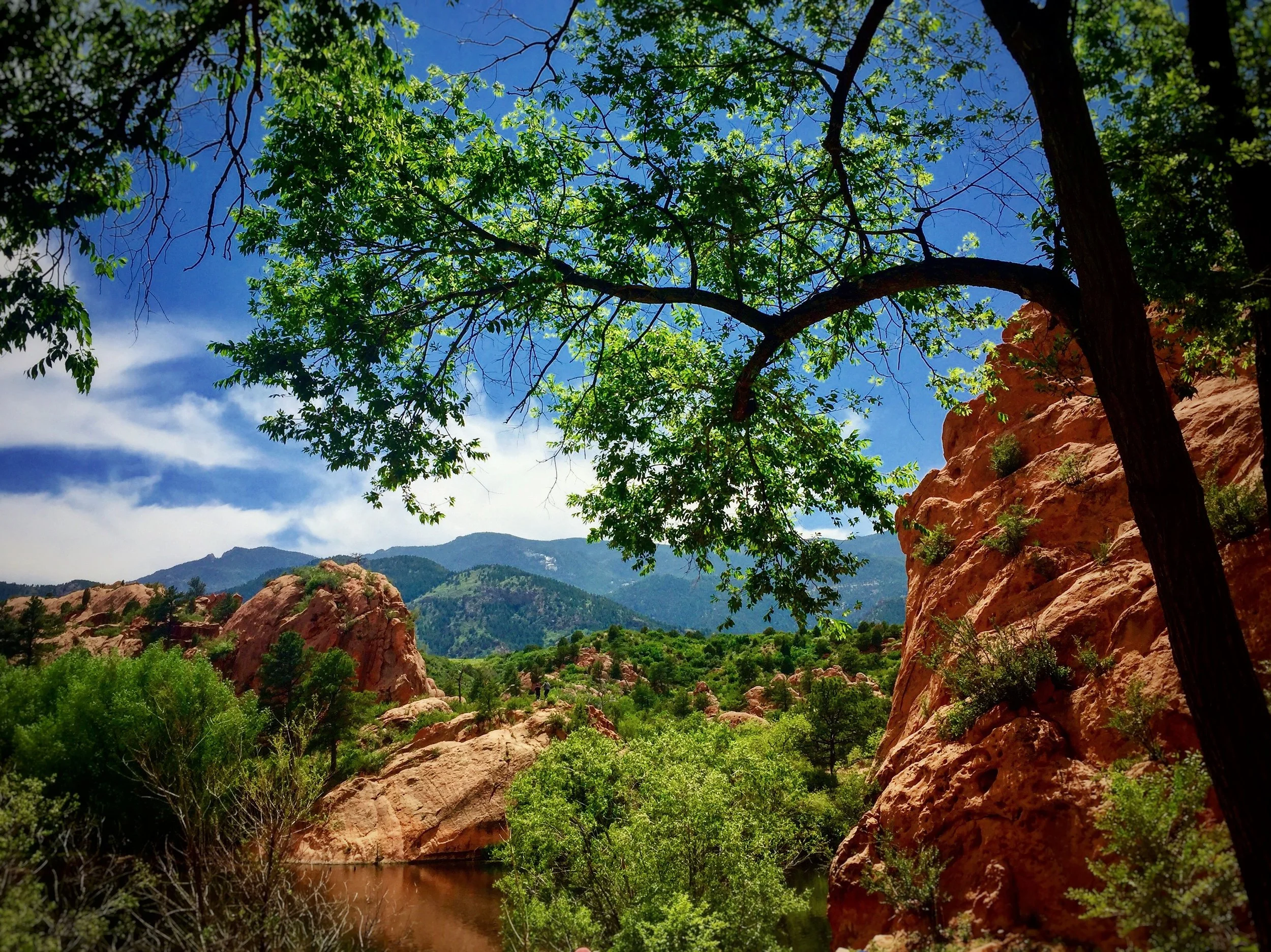
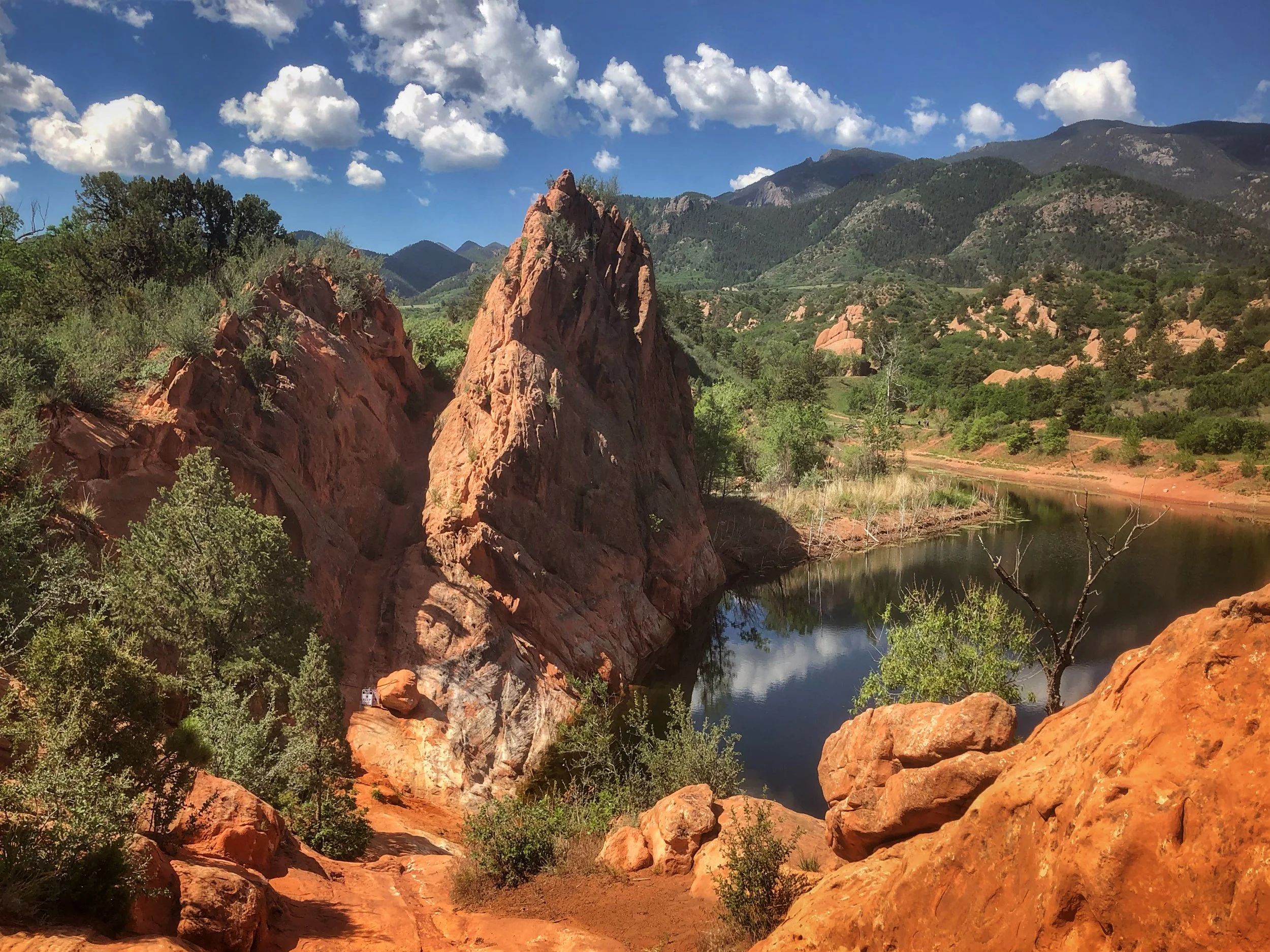
This section of the park offers elevated views of the canyon’s red rock formations, historic quarry areas, and expansive prairie views. Beginning from the east parking lot, Bock Trail climbs gradually onto the mesa, where hikers are rewarded with sweeping views of Red Rock Canyon, Pikes Peak, and the city beyond. Because the mesa is dominated by open meadows rather than dense forest or rock formations, the landscape can appear sparse during winter months, however in spring and summer wildflowers bloom to life.
Farther along, Bock Trail splits, creating two primary loop options. Taking the downhill trail to the right leads onto Red Rock Rim Trail. Shortly afterward, another trail branches off to the right and descends back to Red Rock Canyon Trail within the heart of the formations. This route forms the shorter Bock / Red Rock Rim / Red Rock Canyon loop, approximately 2.5 miles round trip.
Taking the uphill trail to the left follows Chamberlain Trail, which continues along the mesa with elevated views overlooking the canyon. The trail eventually transitions into Lion Trail and loops back to the original junction. This longer Bock / Chamberlain / Lion Trail loop is approximately 3.3 miles round trip.
26TH STREET
From US 24, turn south onto 26th Street and continue approximately 1.5 miles. The parking lot will be on the right and provides access to Rim Trail.
31ST STREET
From Colorado Springs, head west on US 24 and turn left at 31st Street. Continue a short distance to the parking lot on the right. This parking area accommodates oversized vehicles and horse trailers.
Access Rim and Chamberlain Trails to the south and Bock Trail to the north.
SECTION 16/
PALMER RED ROCK
From US Highway 24 West, turn left onto South 26th Street and head south past the cemetery. Follow the road as it winds up the switchbacks to the top of the bluff, then turn right onto Gold Camp Road. Drive west for about one mile, and you will see the dirt parking lot on your right side marked by a large three-panel wooden sign. Alternatively, you can take South 21st Street, turn right onto Lower Gold Camp Road, and continue straight through the four-way stop at Bear Creek Road before driving up the hill for just under a mile to reach the lot.
This lot serves both Bear Creek Canyon Park and Red Rock Canyon Open Space The trailhead to the west provides access to Red Rock Canyon via Palmer Red Rock Trail and Ridgeline Trail. Section 16 is now part of Red Rock Canyon Open Space.
Palmer Red Rock Loop/Parallel /Overlook Trails
4.3 mi
Length
Mod
Rating
610 ft
Elev Gain
Yes
Loop
2 hr
Time
Yes
Bike/Horse
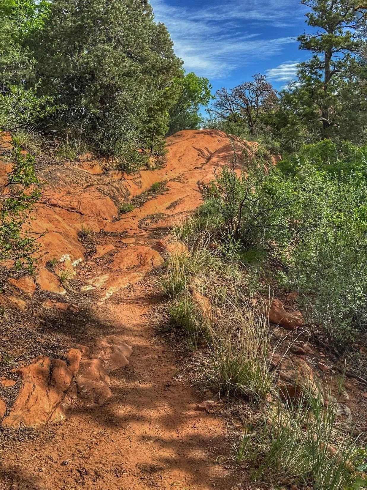
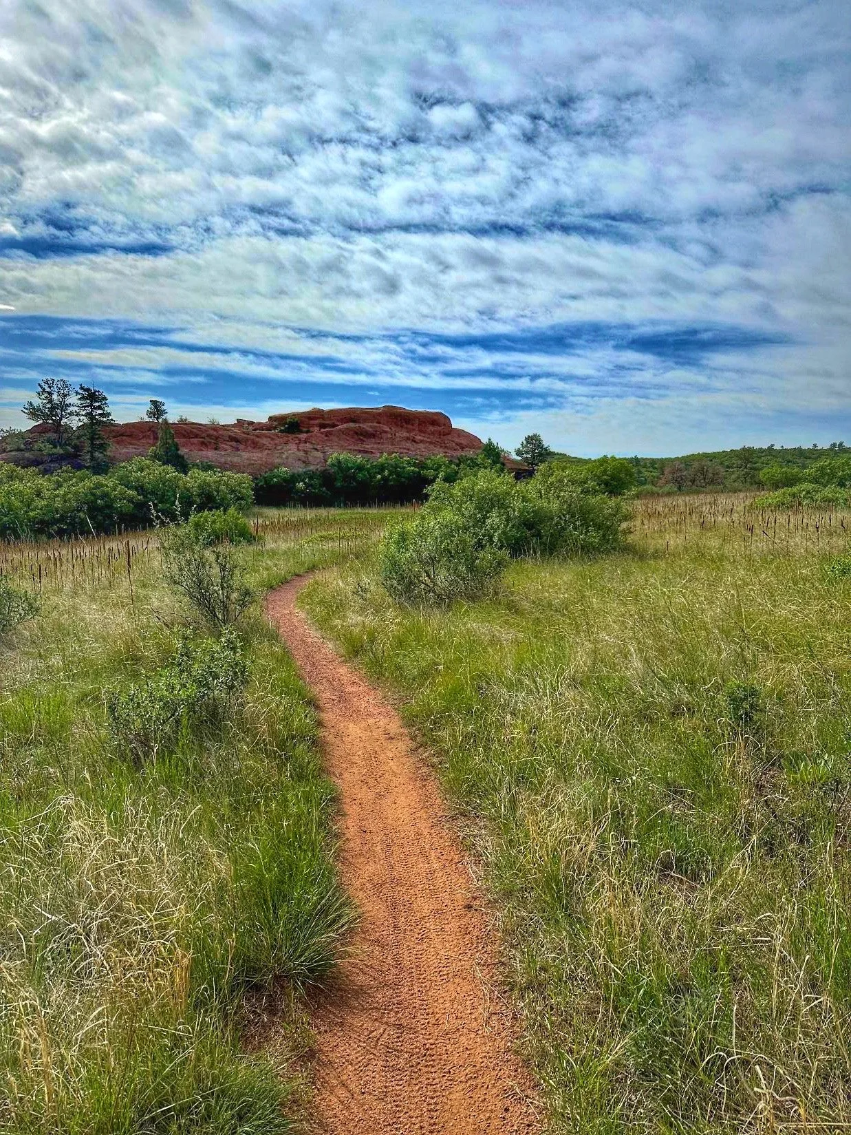
This longer loop showcases some of the most spectacular scenery in the southern portion of the Red Rock Canyon Open Space (RRCOS). The route winds through forested hills, crosses striking red rock outcrops, passes beneath towering rock fins, and skirts a native grass meadow with distant views of Garden of the Gods.
Begin at the Palmer Red Rock Trailhead on Gold Camp Road and follow signs for Palmer Red Rock Loop. Continue past the junctions with Cub Trail, Ridgeline Trail, and Meadows Trail near the double benches, staying on Palmer Red Rock Loop.
As the trail approaches a large rock outcrop, you'll reach a junction with Overlook Trail on the right and Parallel Trail on the left. Turn left onto Parallel Trail and climb gradually as it follows the hillside above Palmer Red Rock Loop. After a short distance, Parallel curves right and crosses the upper section of Palmer Red Rock Loop. Continue on Parallel until it reaches Intemann Trail.
Cross Intemann Trail and continue onto Overlook Trail. The trail descends through a series of switchbacks before opening to dramatic views of the massive rock fins that give the trail its name. Continue downhill into a large native grass meadow. The trail skirts the meadow, crosses a slickrock section, and descends to a signed junction.
To remain on Overlook Trail, take the right fork. The trail winds through a secluded valley and passes beneath red rock fins that feature several established climbing routes. Overlook eventually returns to the junction with Palmer Red Rock Loop and Parallel Trail. Turn left onto Palmer Red Rock Loop and follow it approximately 0.5 mile back to the Section 16 Trailhead.
Optional Return Route: At the signed junction, take the left fork onto Gypsum Canyon Trail. This scenic trail meanders through a narrow rocky valley and connects with Meadows Trail. Turn right onto Meadows Trail and follow it to Palmer Red Rock Loop near the double benches. Turn left to return to the Section 16 Trailhead.
White Acres
White Acres is a historic and scenic 200-acre open space on the west side of Colorado Springs that is now part of Red Rock Canyon Open Space. The area features rugged sandstone ridges, sweeping foothill views, seasonal wildflowers, and abundant wildlife, making it a favorite destination for hiking, trail running, and mountain biking. Its network of multi-use trails — including the White Acres Trail, Ridgeline Trail, and Meadows Trail — easily connects to neighboring open spaces for longer adventures. Dogs on leash are welcome.
White Acres has been preserved through Colorado Springs’ TOPS (Trails, Open Space, and Parks) program, protecting this beautiful foothills landscape for future generations. Unlike the major parts of Section 16 and Red Rock Canyon, White Acres has yet to be permanently protected by a conservation easement.